Discover Property Across India.
Premium listings, projects, new launches & plotted land — with Map plotting + 360° viewing.
Explore Real Estate in Popular Indian Cities
Premium listings, verified projects, plotted land & map-plotting experiences — city-wise discovery.


The most advanced way to explore real estate
Boundaries on map, 3D experiences, and AI insights — built for buyers, investors, and developers.
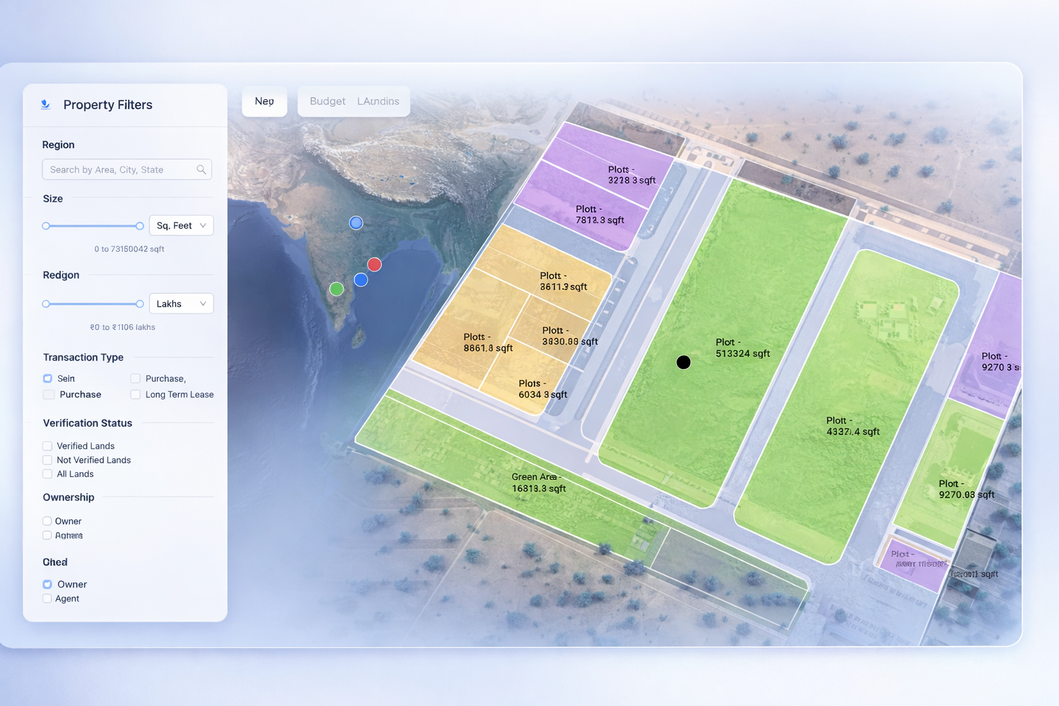


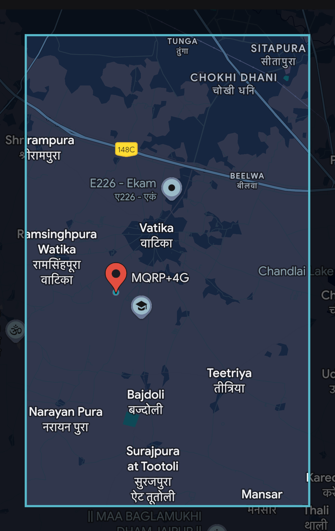
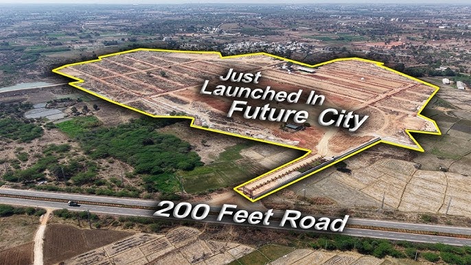
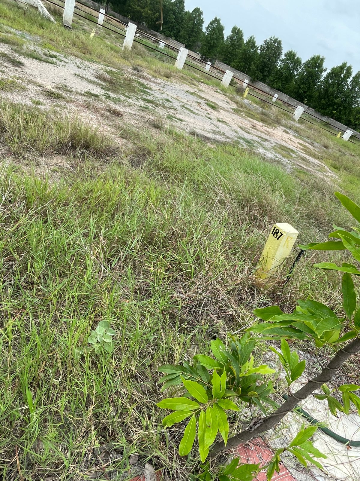
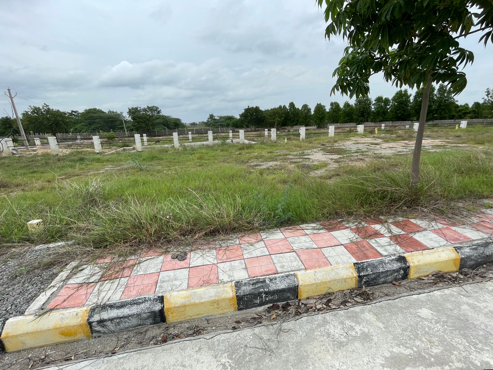
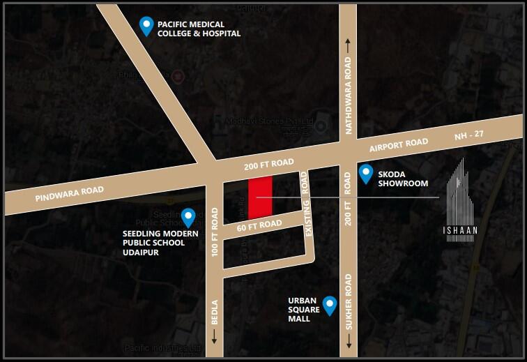
Live Property on Map — See Exact Location, Boundaries & Neighborhood
MapAcres is not a generic aggregator. We let buyers and developers visualize plots and boundaries on a satellite map, share a link, and help customers understand everything before visiting.

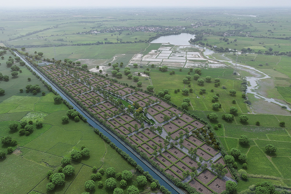
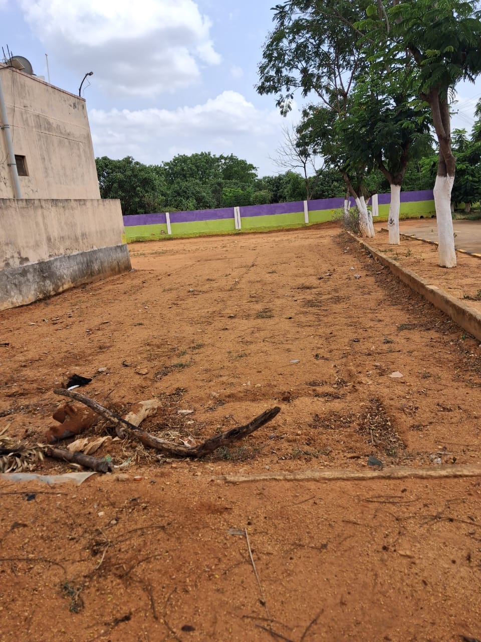
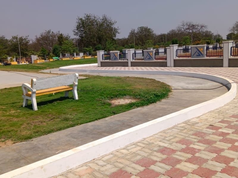
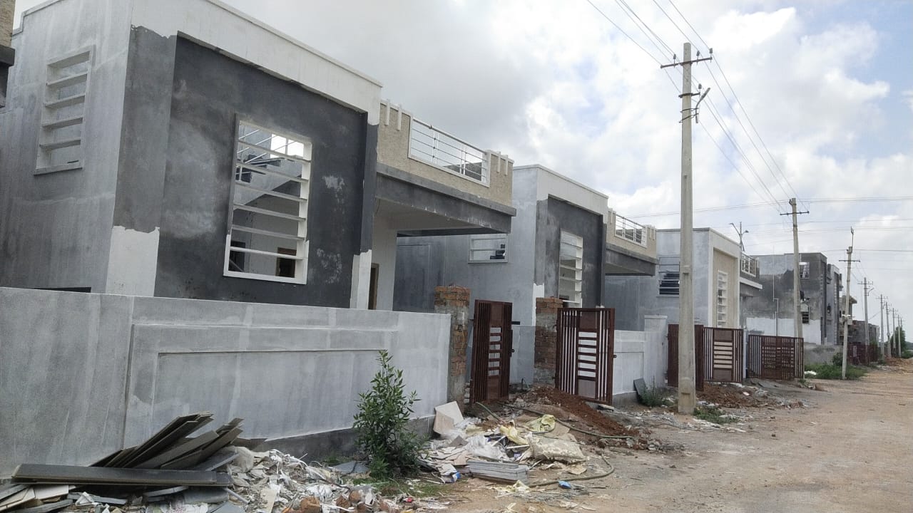
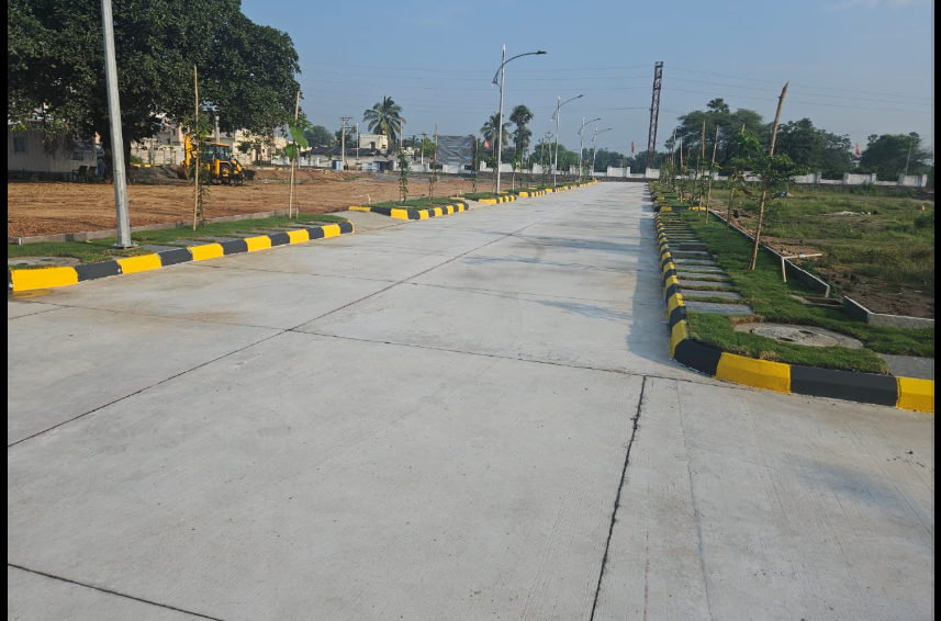
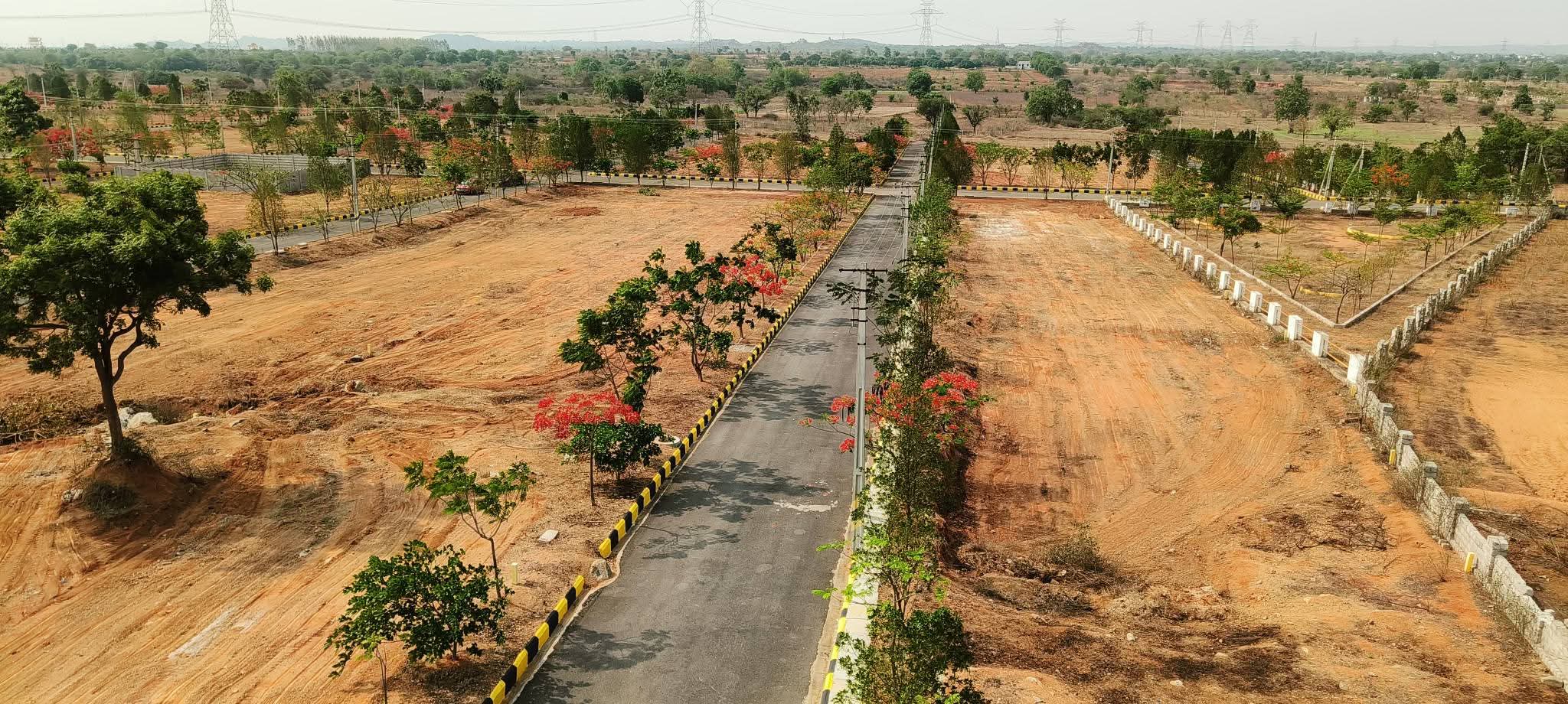
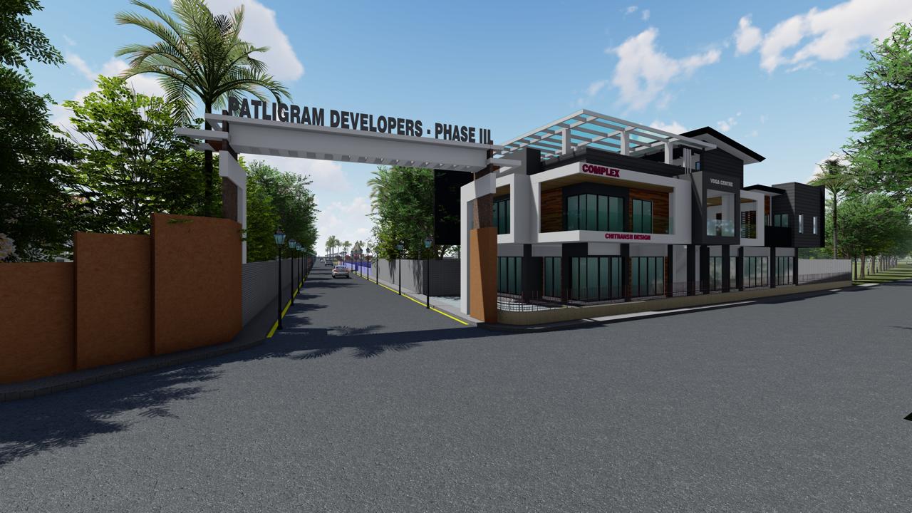
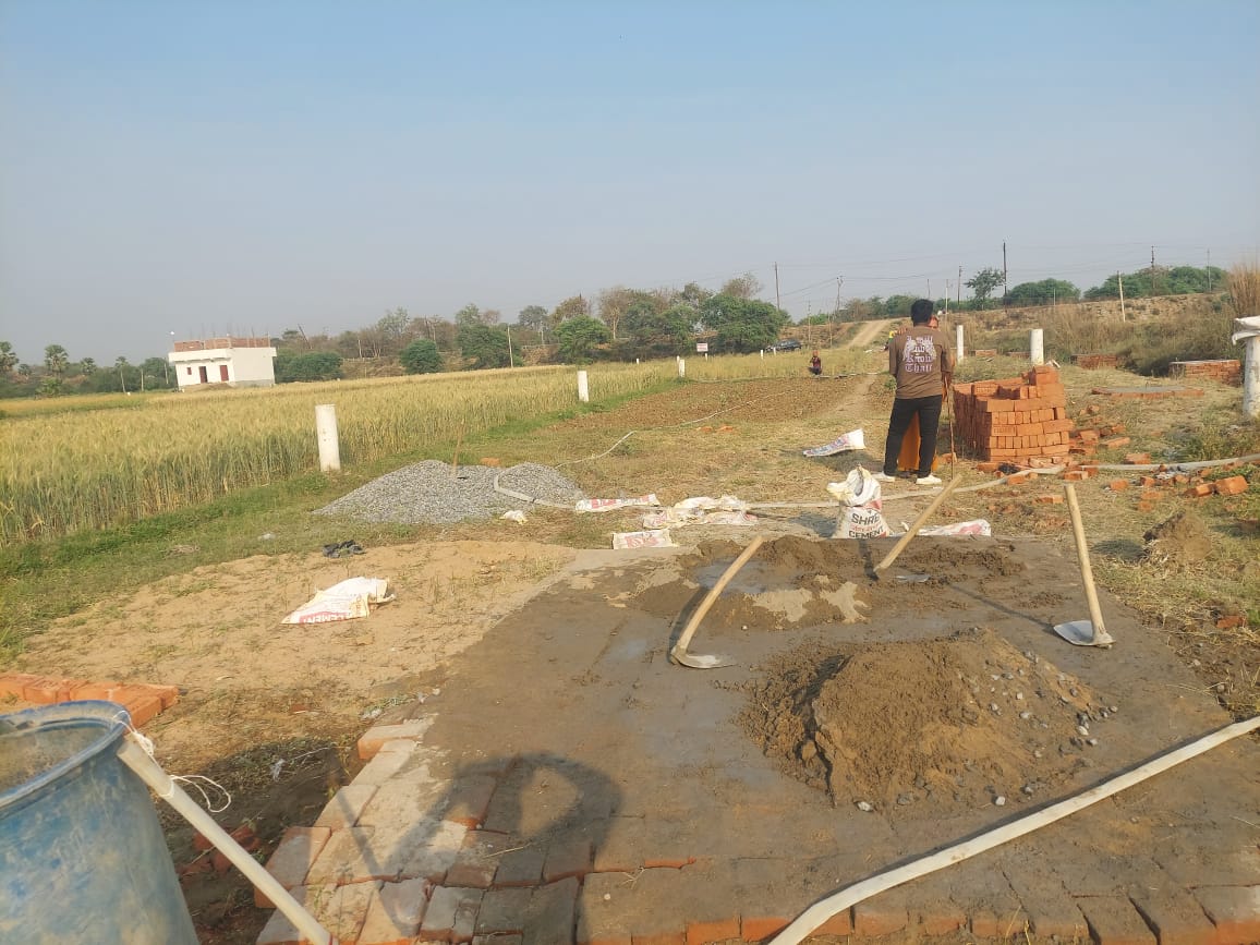
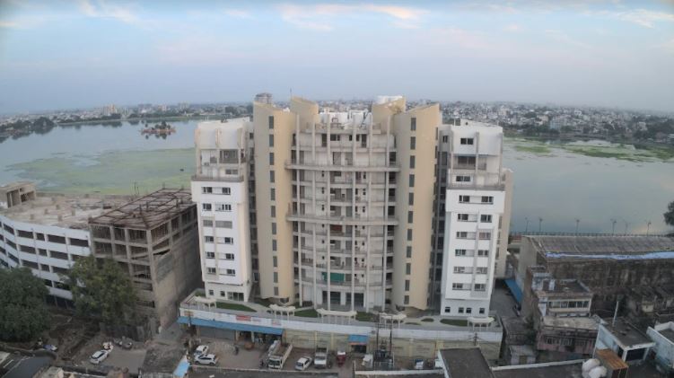
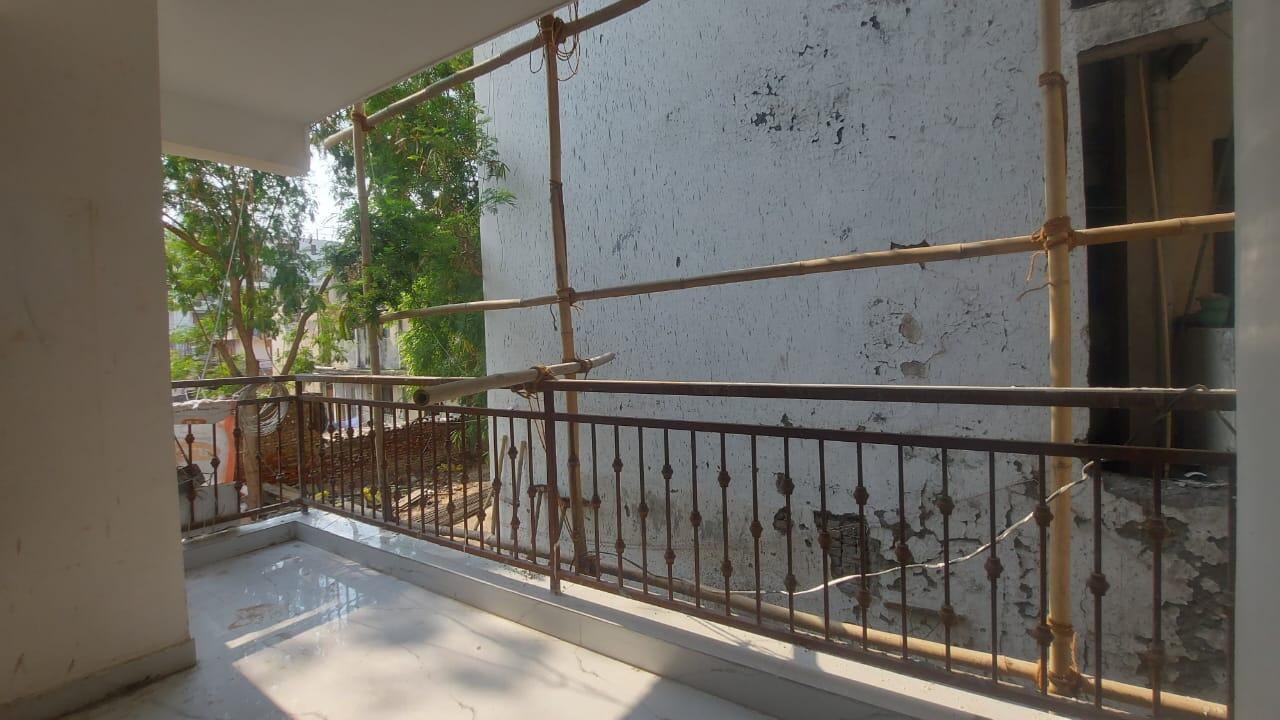
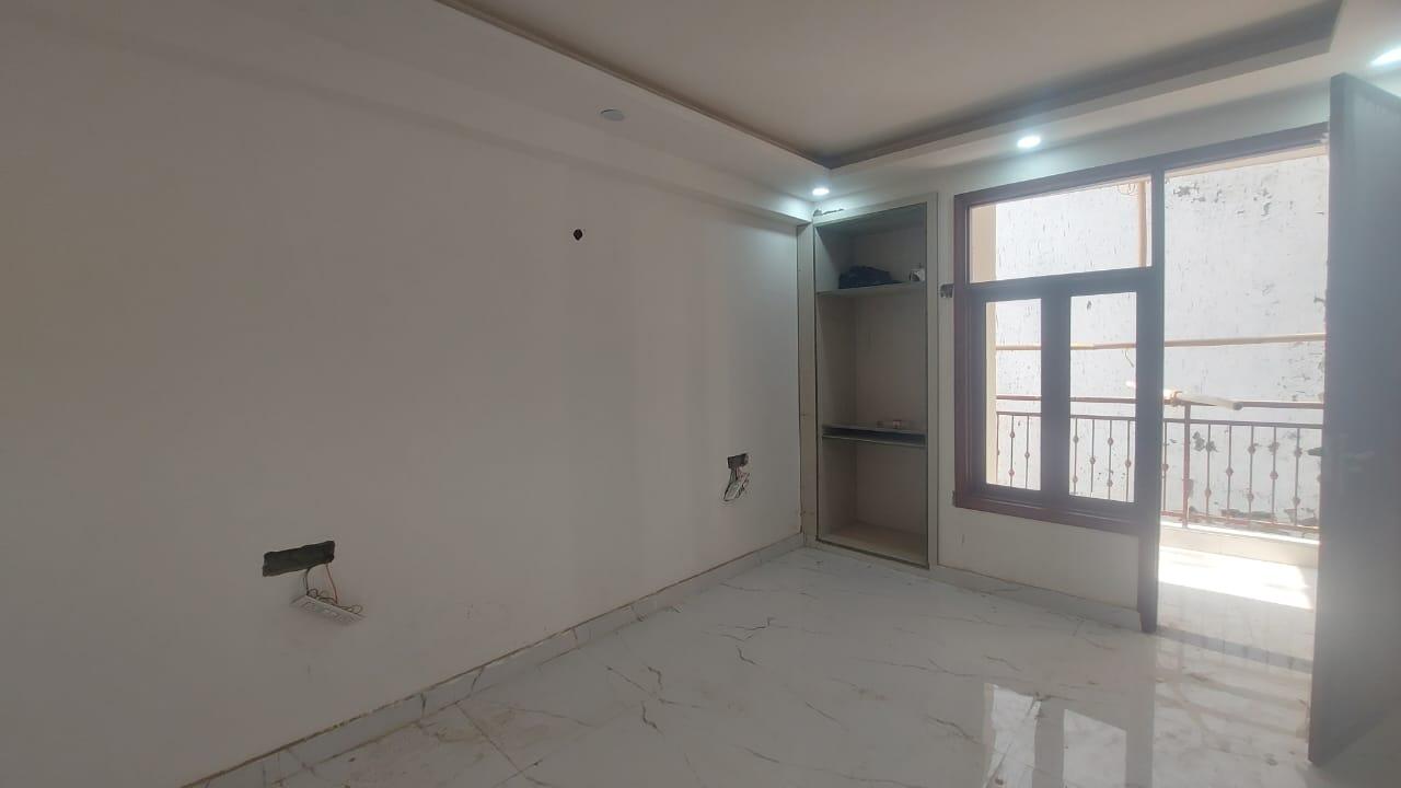
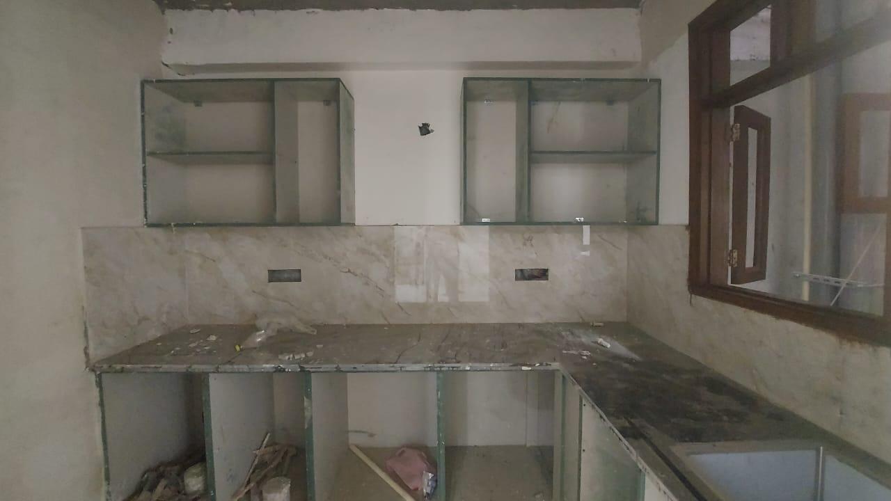
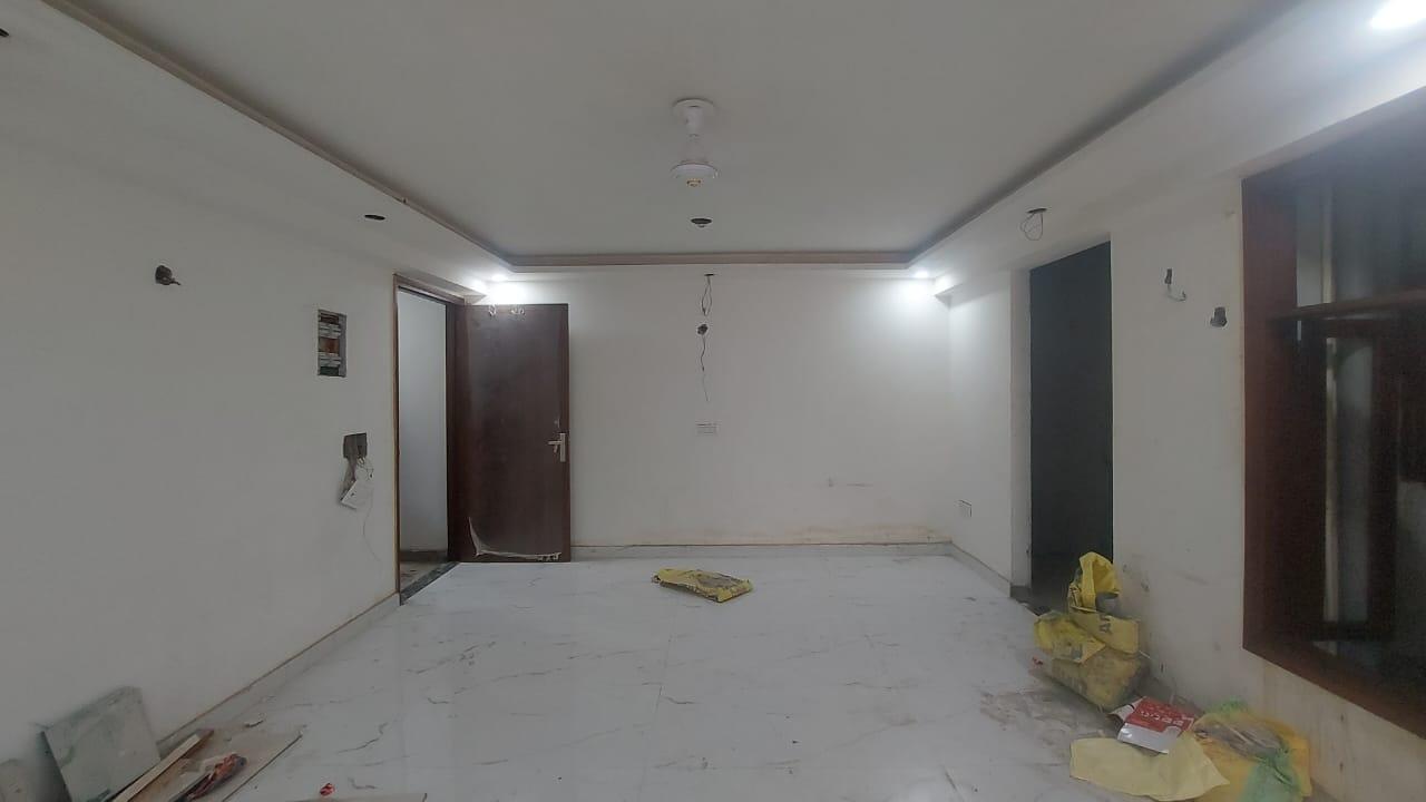
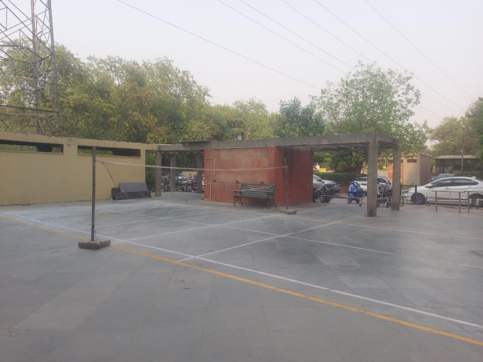
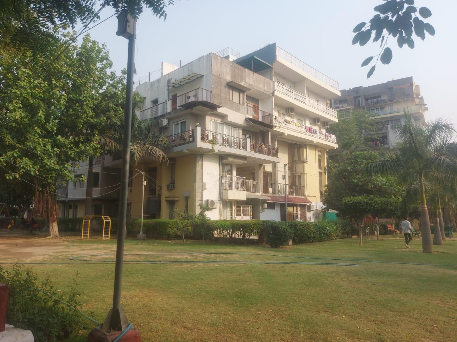
Premium listings picked for you


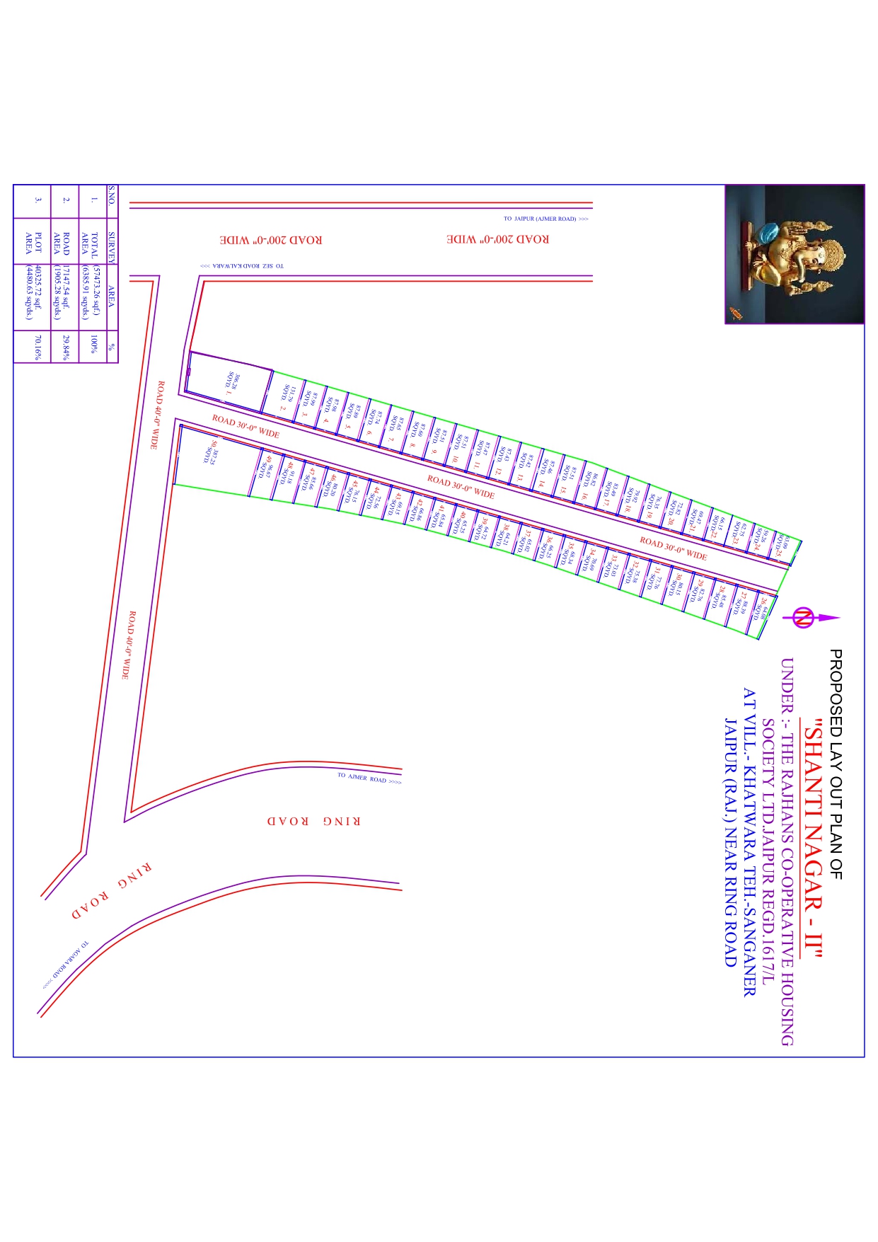
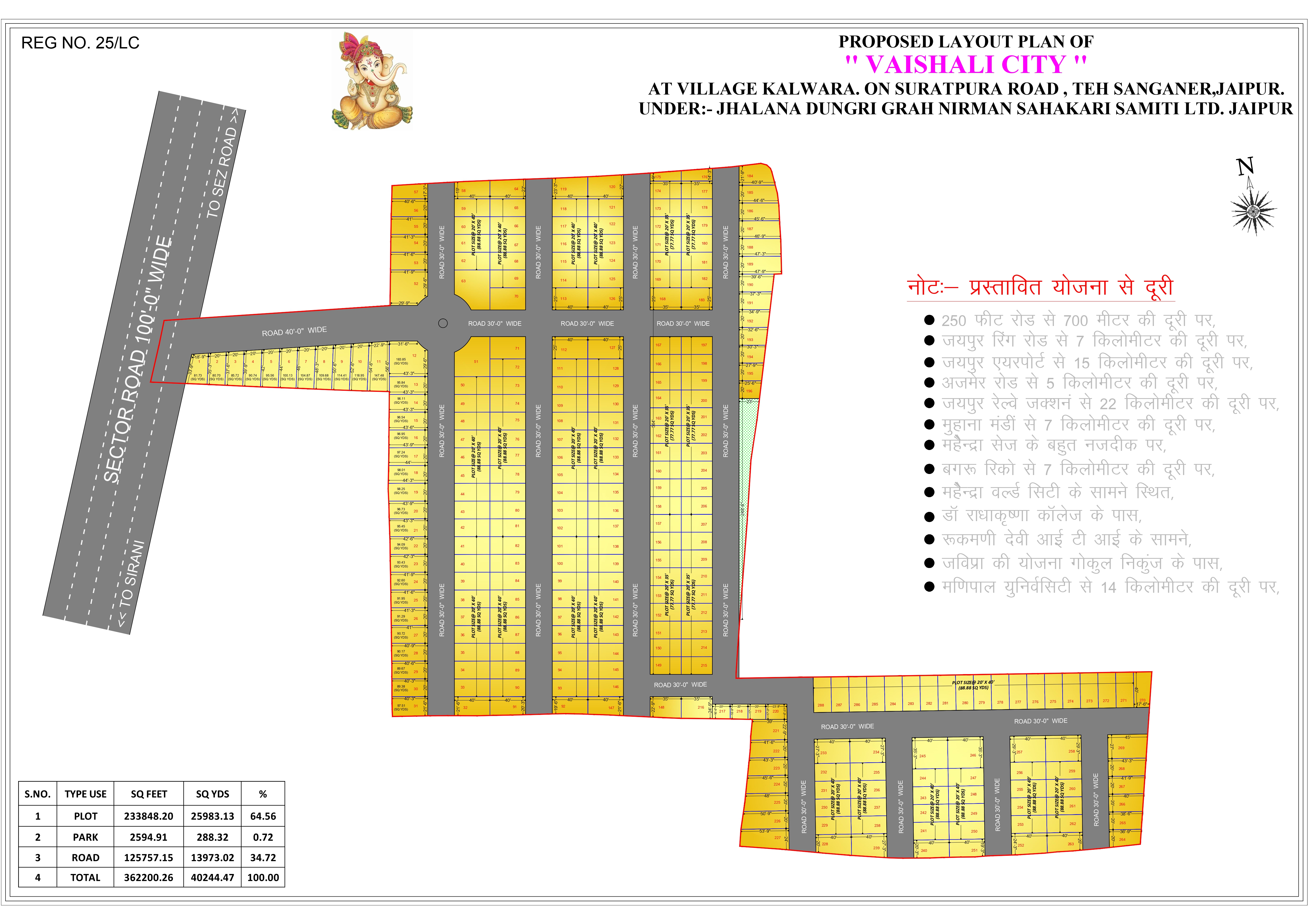


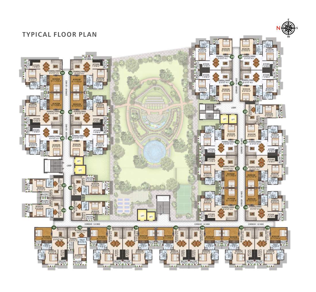
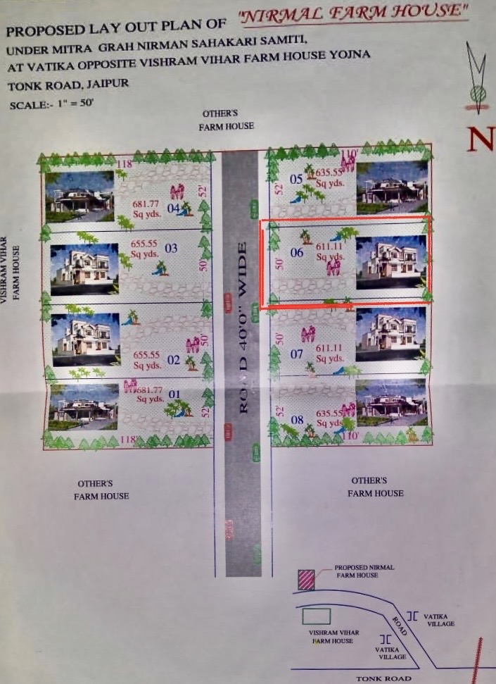
Live Property on Map — Plot Boundaries like CAD on Satellite
- ✓Plot boundaries, roads, nearby development — all on-map
- ✓Share a visual map-link with buyers instantly
- ✓No CAD files needed for presentations
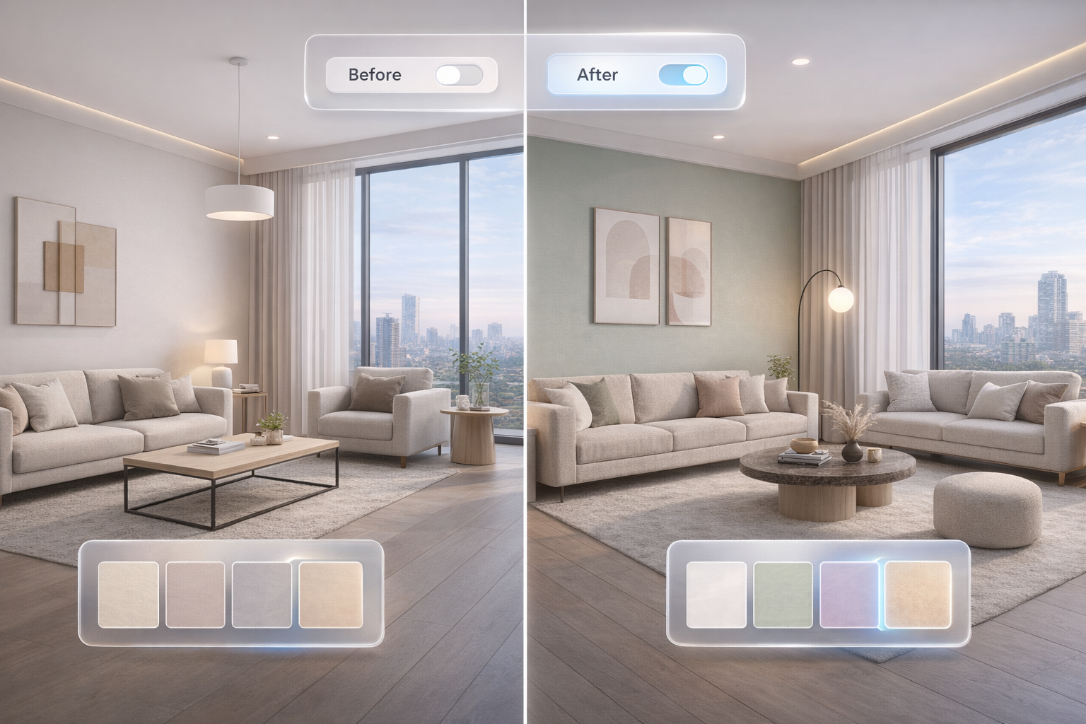
Built different: Map + AI + 3D experience
MapAcres combines CAD-style map boundaries, 3D experiences, and AI insights to give buyers total clarity — on mobile and desktop.
AI market pricing + investment recommendations
We compute market price ranges, locality demand signals, and comparable listings to help you buy smarter. For investors, we recommend the best options based on your goals.
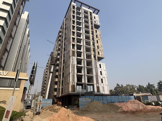
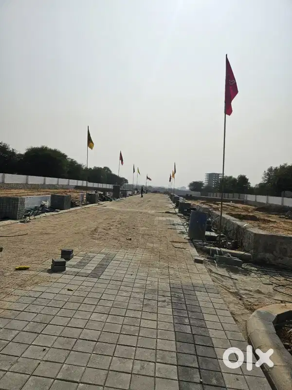
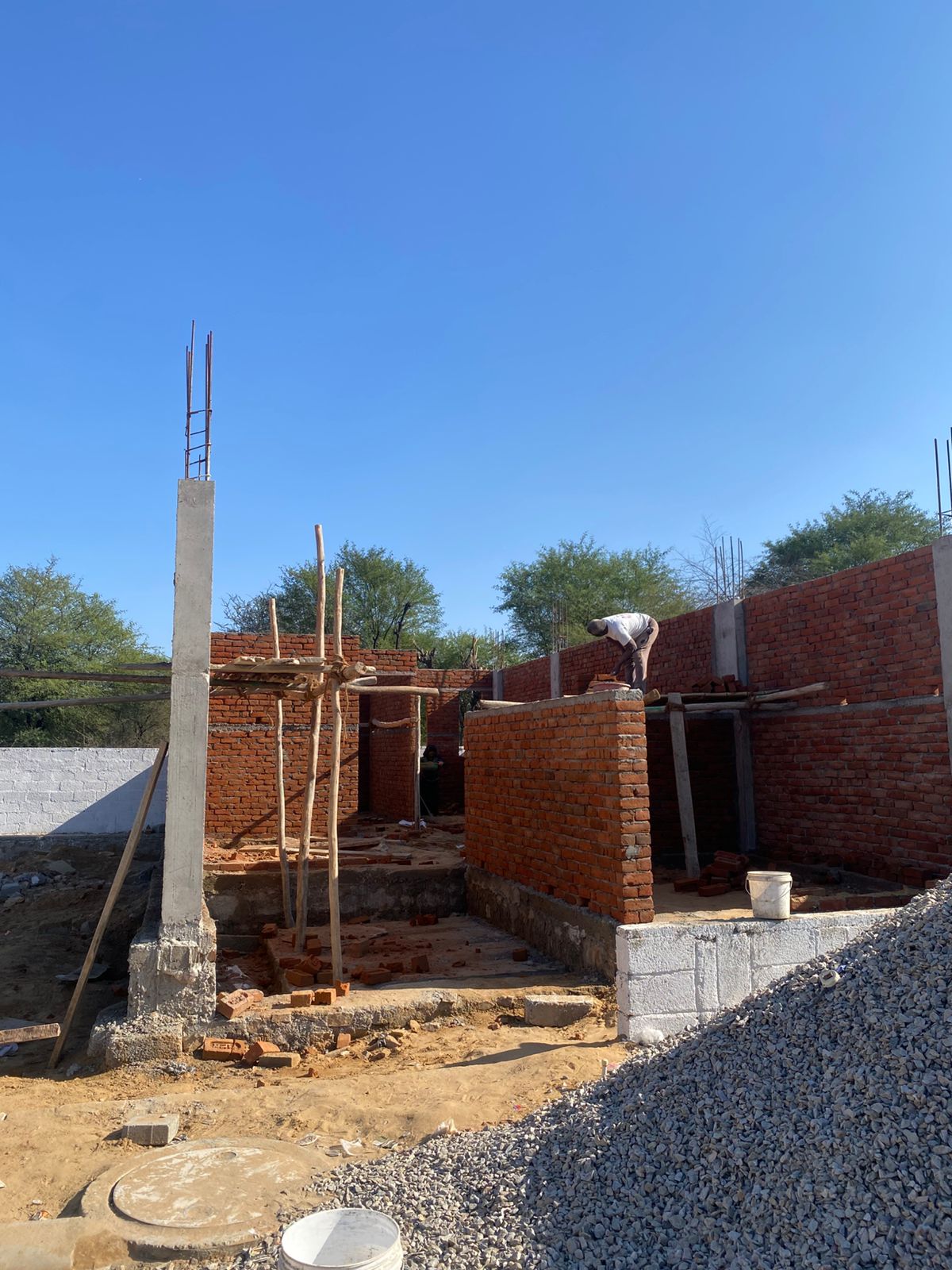
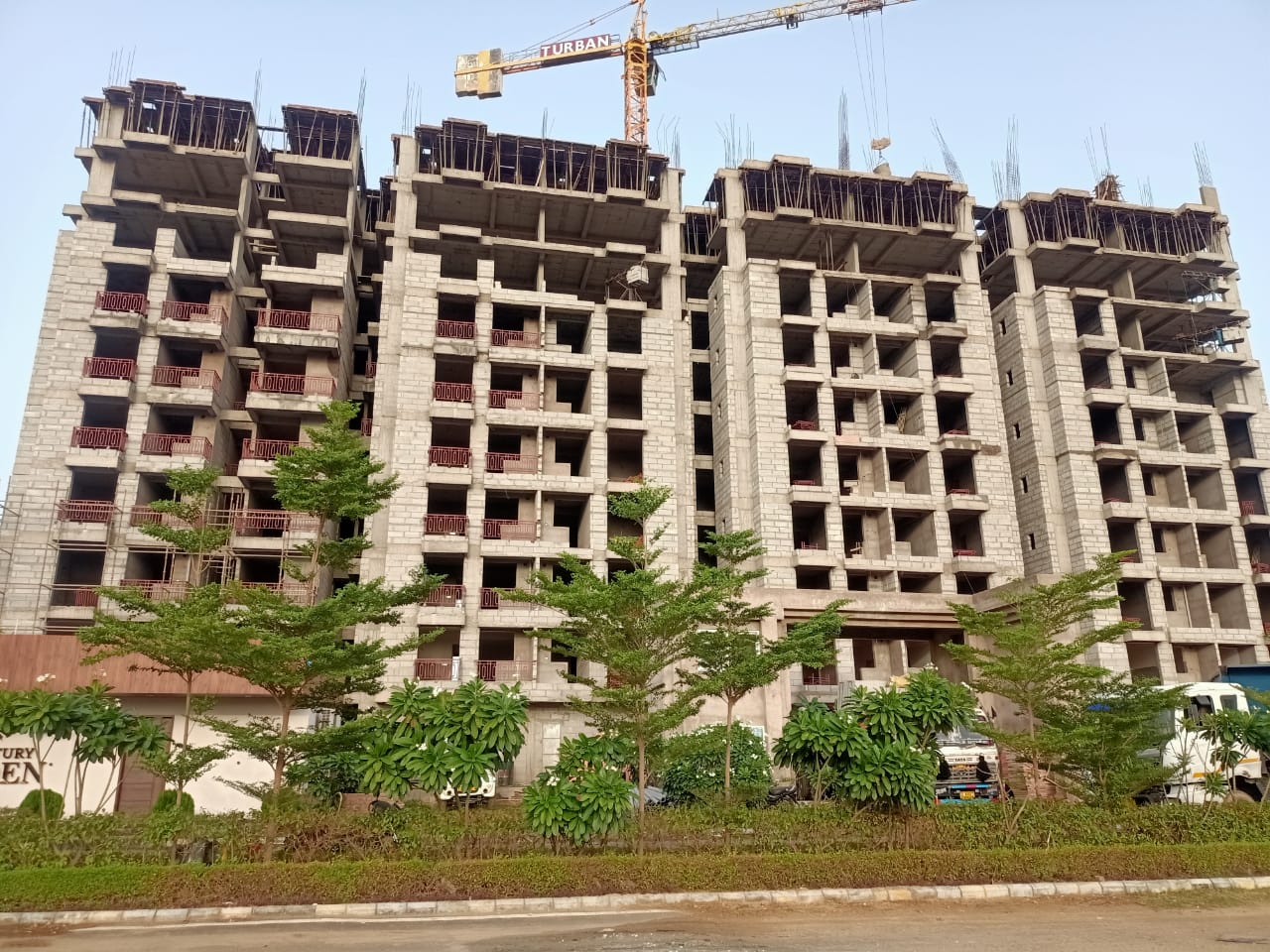
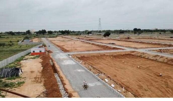
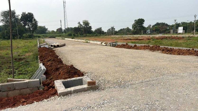
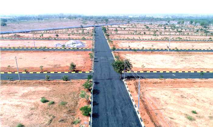
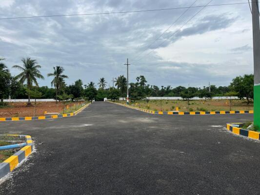
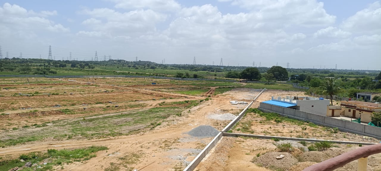
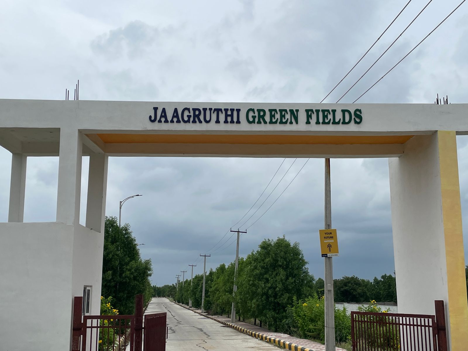
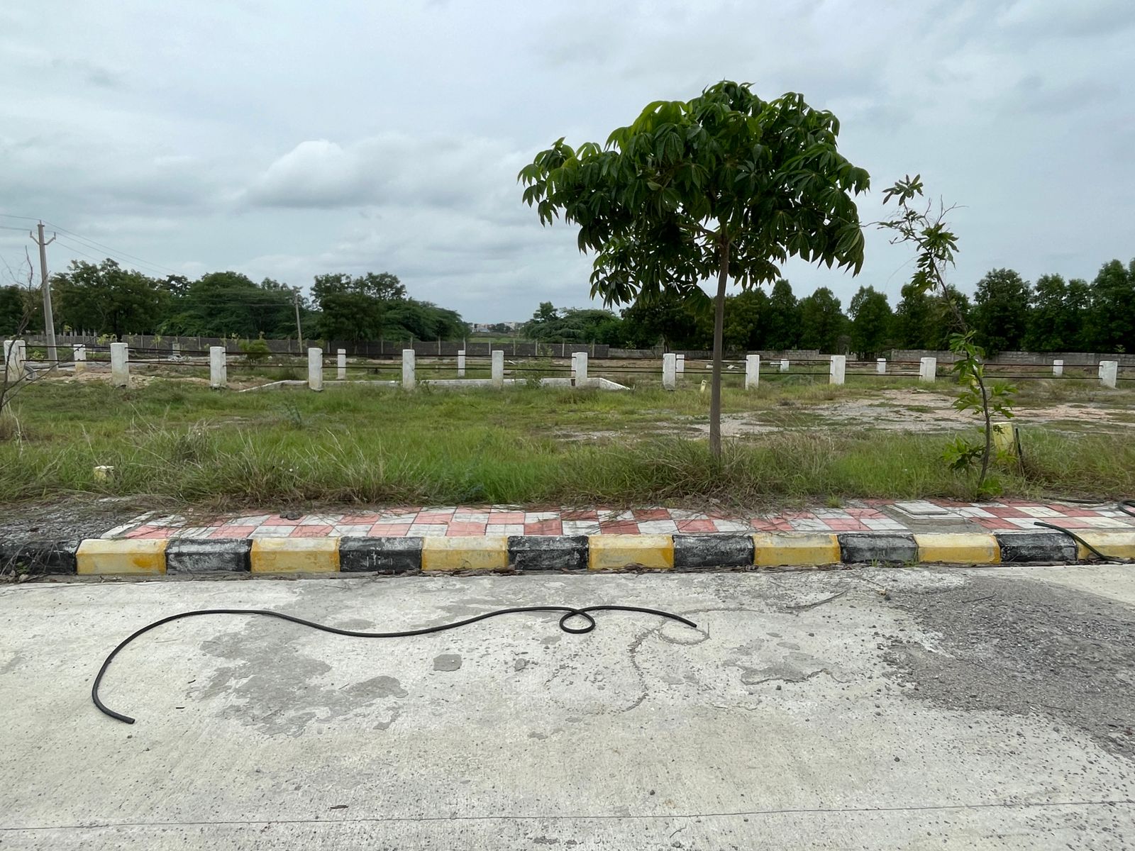
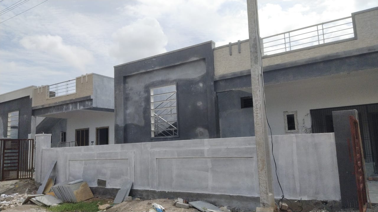
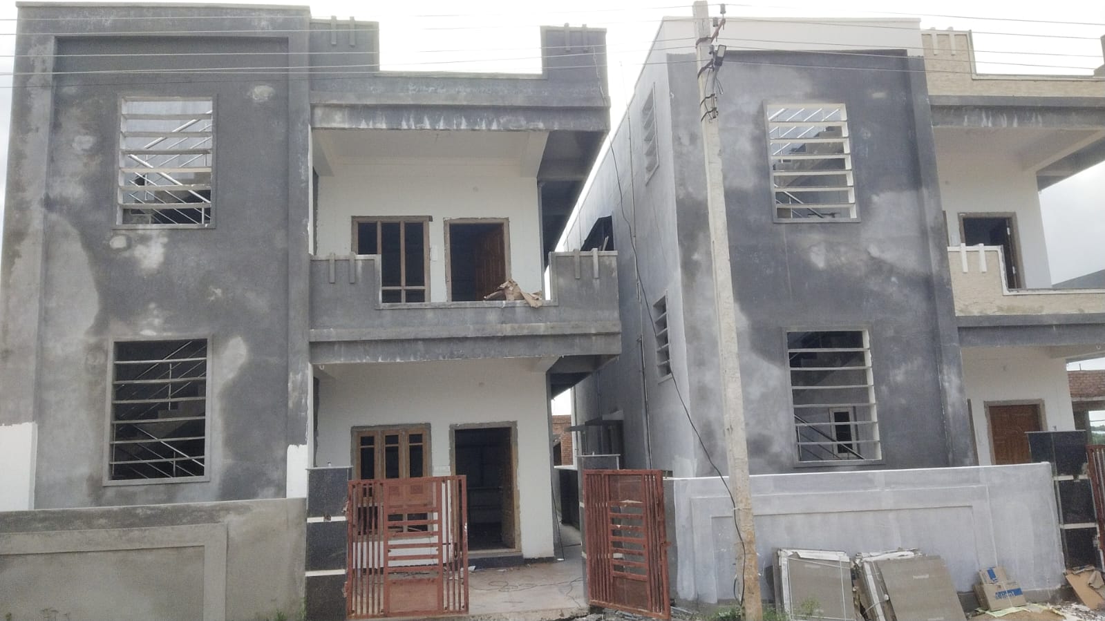
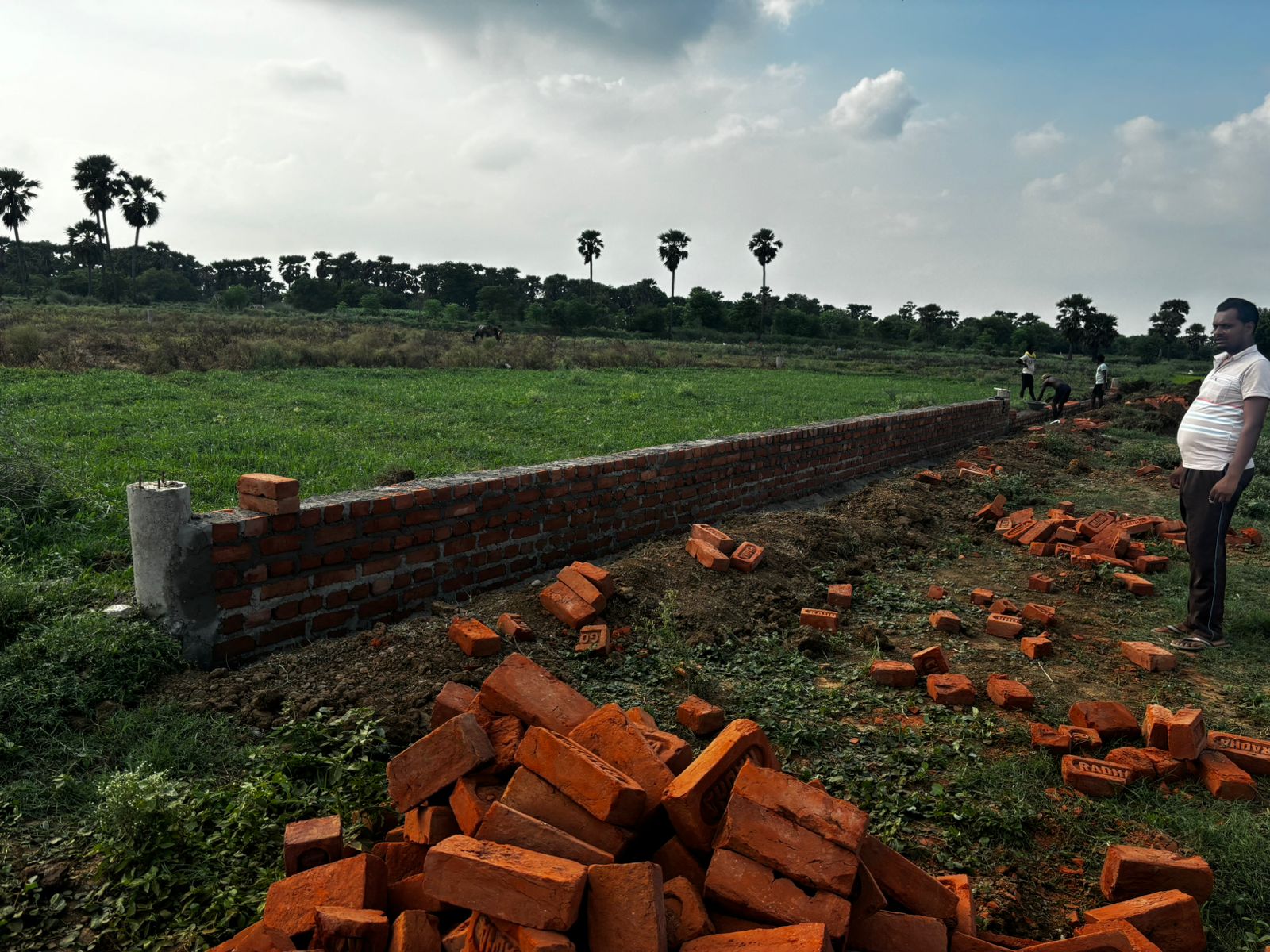
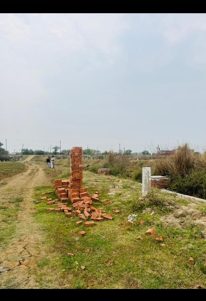
Showcase Properties


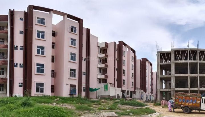


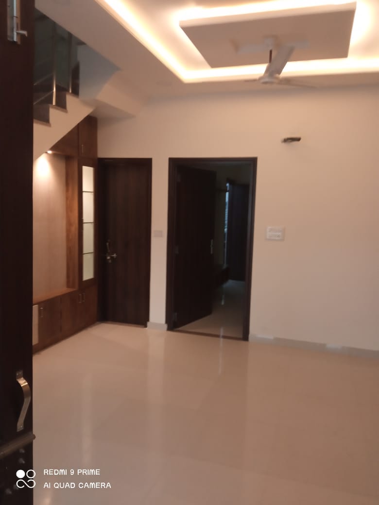
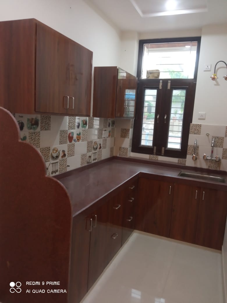


Latest Properties


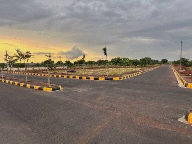

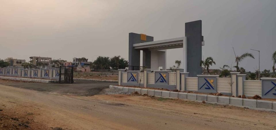

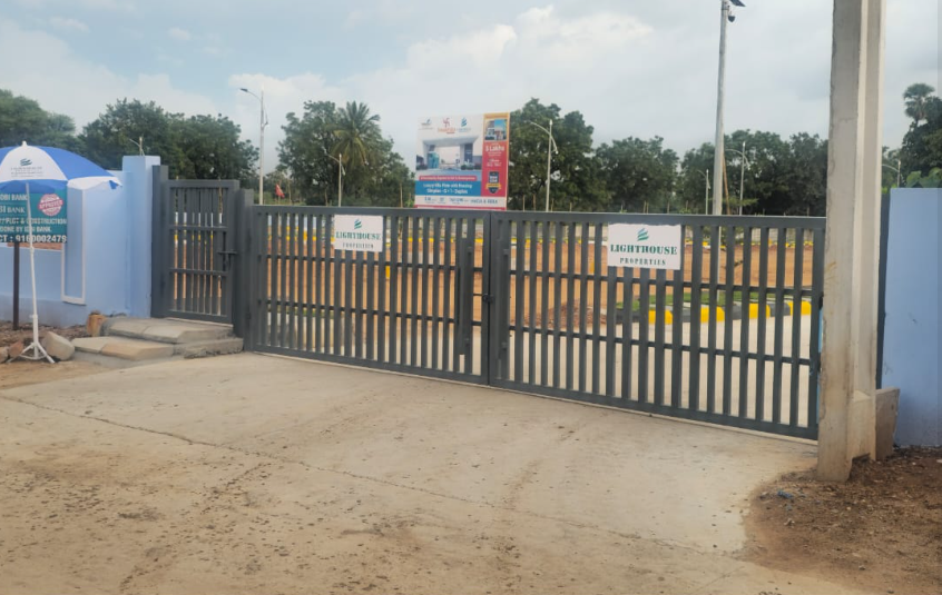

New Launches


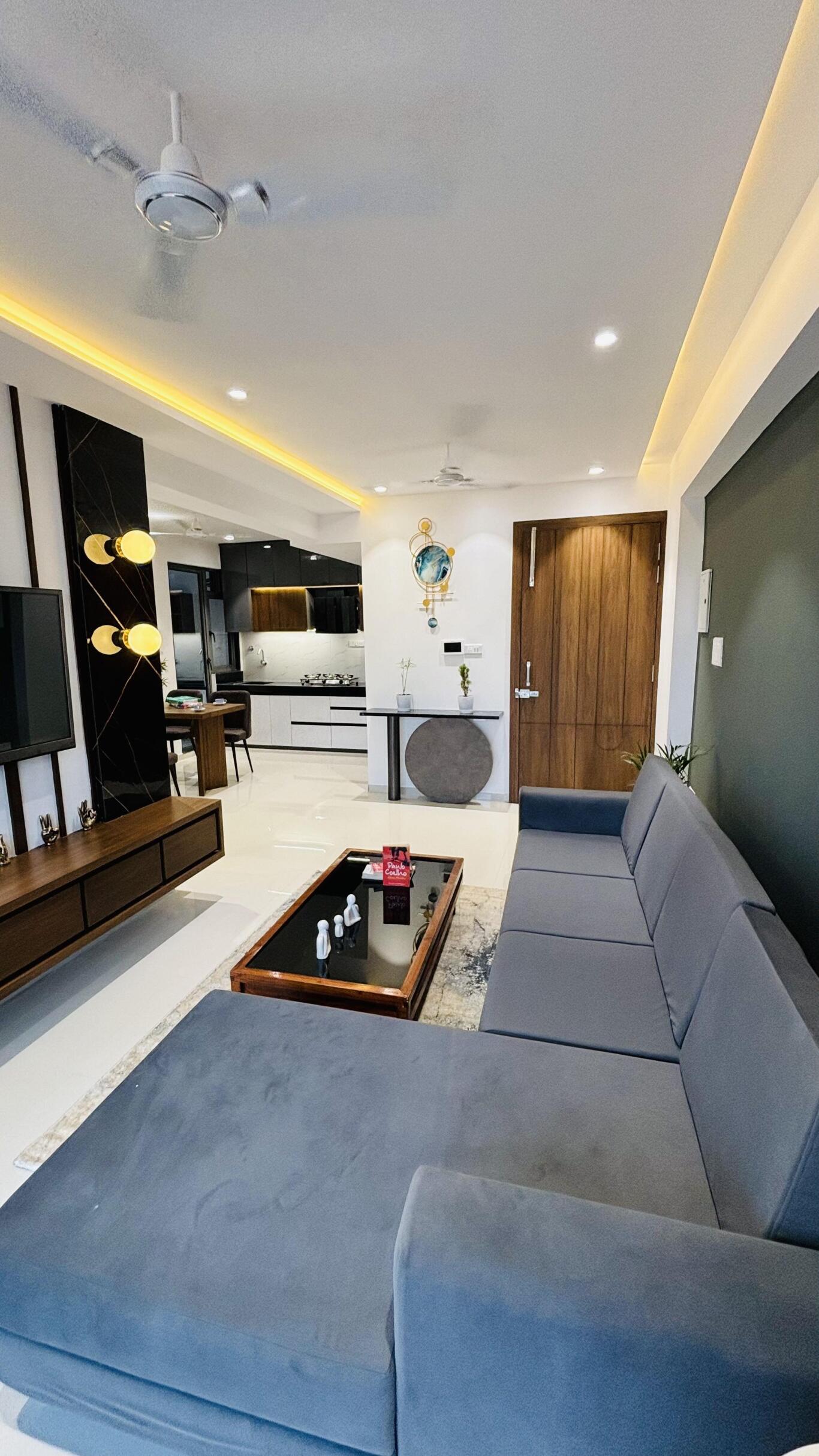


Projects
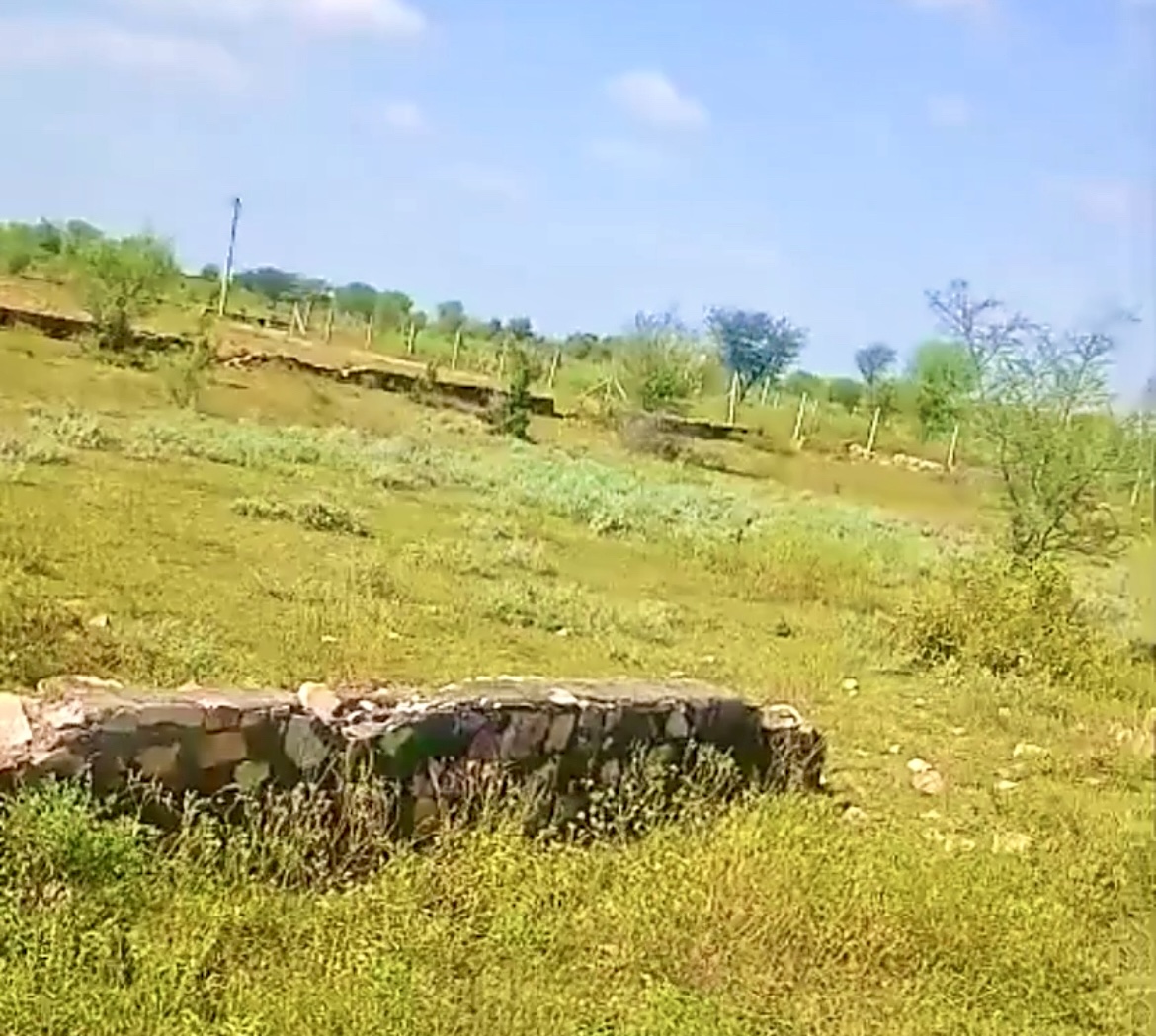
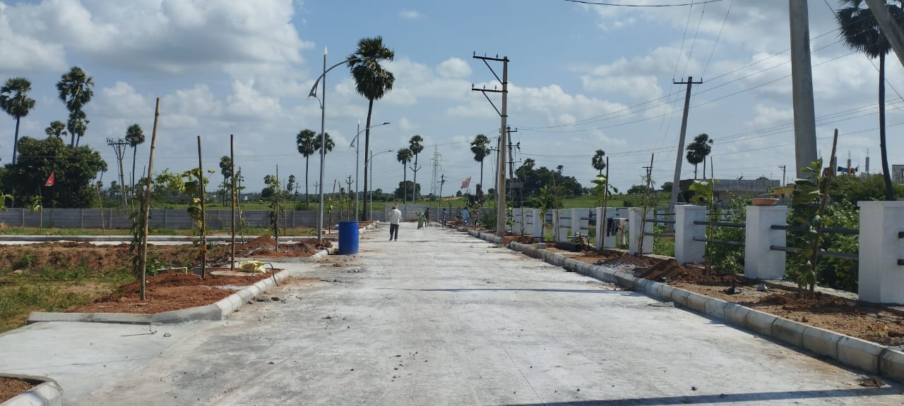
Plots / Land
Commercial


Live Property on Map — See Exact Location, Boundaries & Neighborhood
MapAcres is not a generic aggregator. We let buyers and developers visualize plots and boundaries on a satellite map, share a link, and help customers understand everything before visiting.
What Users Say
Better leads. Faster decisions. Real visibility before site visit.
“The map feature helped me understand the exact location and neighborhood. I could see schools and hospitals nearby before visiting. Saved so much time!”
“Listing our project with plot boundaries and 360° tours increased our lead quality by 3x. Buyers come more prepared and serious.”
FAQs
Quick answers about MapAcres features and verification.