CITY LANDING
See Every Hyderabad Plot on a Live Satellite Map Before You Visit
MapAcres maps exact plot boundaries, land parcel sizes, and neighbourhood context across Hyderabad's IT corridors, HMDA-approved zones, and emerging township belts — on an interactive satellite map you can explore and share before stepping out.
Why buy in Hyderabad?
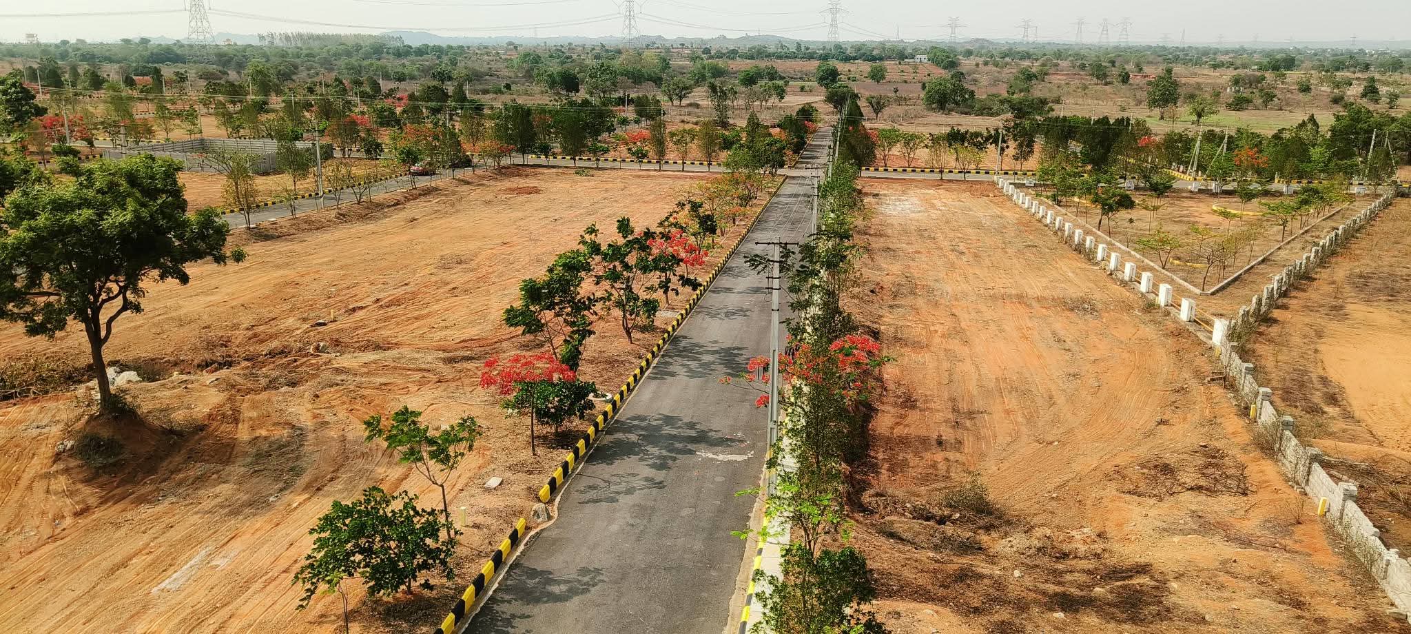
Browse Hyderabad's residential plots, IT corridor land, and new real estate
developments on a live satellite map. MapAcres pins exact boundaries, shows
neighbourhood context, and lets you share a direct property link — so buyers
and developers understand every detail before visiting.
CITY LISTINGS
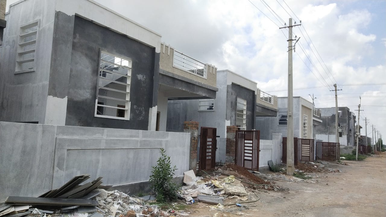
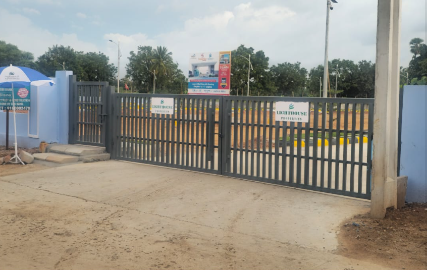
Featured properties in Hyderabad
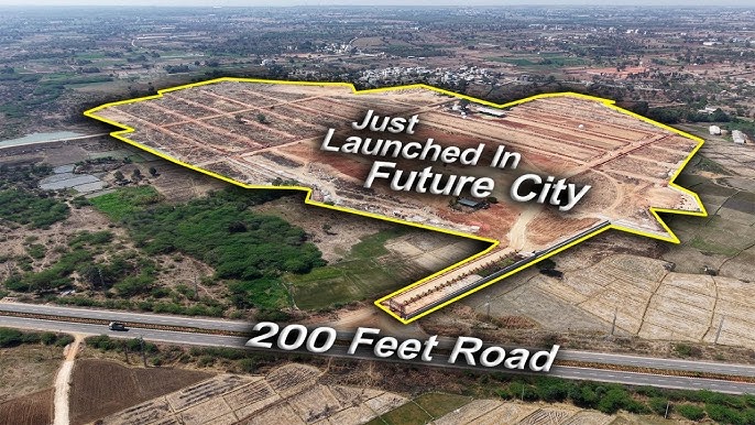
200ft Road Facing HMDA Approved Plots in Kandukur Srisailam Highway – Premium Visibility, Book Now
Kandukur, Srisailam Highway, Hyderabad
₹ 4.98 Crore

Premium Plots for Sale in Kandukur on Srisailam Highway Hyderabad – Prime Location, Book Now
Kandukur, Srisailam Highway, Hyderabad
₹ 4.98 crore
HMDA Approved Plot for Sale Near Nandigama Road Patancheruvu to Shankarpalli – Best Location, Book Now
Nandigama, Hyderabad
₹ 50 Lakh
HMDA Approved Open Plot for Resale in Kundanpally Near Rampally Hyderabad – Best Deal, Buy Now
Kundanpally, Near Rampally, Hyderabad
₹ 65 Lakh
HMDA & RERA Approved Gated Villa Plots at Maheshwaram Hyderabad – 100% Legal, Premium Living
Hyderabad-near-by, Hyderabad
₹ 2.33 crore
Maytri Kuteer Gated Community Plots in Maheshwaram Hyderabad – Premium Living, Book Now
Hyderabad-near-by, Hyderabad
₹ 5.13 crore
HMDA & RERA Approved Open Plots for Sale at Ramdaspally Gachibowli – 100% Legal, Book Now
Gachibowli, Hyderabad
₹ 75 Lakh
Gated Community Villas in HITEC City Hyderabad – Luxury Living, Premium Location, Book Now
Hitec, Hyderabad
₹ 50000-20 crore
100 Sq Yards Open Plot for Sale in Shadnagar Hyderabad – Best Price, Great Location, Book Now
Hyderabad-near-by, Hyderabad
₹ 5 Lakh